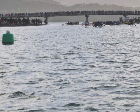
Last weekend a dangerous swell rose alarmingly quickly off the Raglan coastline, causing trouble for local boaties.
MetOcean Solutions, which provides the free SwellMap marine forecast site, saw the sharp rise of swell in their wave forecast models.
“SwellMap predicted the increase in swell height,” says Sebastien Boulay, a physical oceanographer at MetOcean Solutions and Raglan Coastguard crew member. “We tracked the unusual rapid pulse in swell height on a wave buoy located offshore.
“Our models predicted the sudden arrival of a completely new, very strong westerly swell event on Saturday afternoon.
“The swell essentially rose from 1.5m to 3.5m in less than an hour. The intensity and head-on direction of these waves immediately made it dangerous for boaties to attempt any bar crossing. The forecast also showed a jump in wave period, a clear sign of a new swell.”
As a general rule, a longer period “ground-swell” (more than 15-16 seconds between two waves) will carry more energy than locally generated shorter period waves (8-10 seconds). So if you see this figure change in your forecast, you can anticipate that the Raglan bar will become dangerous and the local rip currents will get faster.
“Swell forecasts are useful,” says Sebastien. “But as sudden changes can occur, we urge users of SwellMap and other marine forecasts to always double check the most current marine forecast before leaving the shore.
“Using more than one source of weather forecasting improves the likelihood that you’ll be warned before unexpected events unfold. And there are several apps that allow boaties to check the weather while underway, which means that you can get a warning as seas gets rougher.”
Met Ocean


